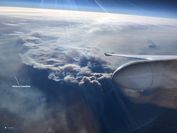
The ER-2 aircraft, in conjunction with the AVIRIS instrument, can see through dense smoke and collect data about the fires burning thousands of feet below.
NASA is flying its ER-2 aircraft over the Southern California wildfires in an effort to evaluate the environmental damage caused by the flames. The ER-2’s imaging spectrometer instrument, created by NASA’s Jet Propulsion Laboratory in Pasadena, California, enables scientists to assess the impacted areas before, during, and after the fires.
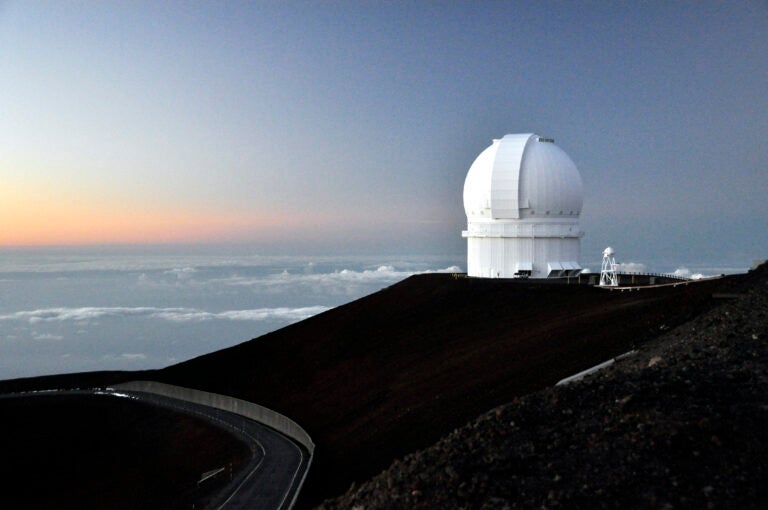
The ER-2 aircraft can fly as high as 70,000 feet (21,300 meters) and is used across the globe to assist in scientific research. Despite the aircraft’s frequent travel, it was home at the Armstrong Flight Research Center in Palmdale, California, conducting test flights of spacebound instruments earlier this month. The ER-2 was testing JPL’s Airborne Visible/Infrared Imaging Spectrometer (AVIRIS) when the flames began to spread December 4.
AVIRIS is an intricate instrument that can see through thick clouds of smoke to evaluate the land below and detect tree and foliage abundance, which can cause fires to spread. The instrument can also identify aerosols (particle matter) made by the smoke, assess the fire’s combustion process, and provide a precise measurement of its temperature. If used prior to a fire, AVIRIS can identify the specific plant species growing in the area and compare vegetation before, during, and after the flames have extinguished. Coincidentally, AVIRIS had previously surveyed the current Southern California wildfire area in summer 2017, well before its inception. With existing data for before and during the fires, AVIRIS will only need to examine the region after it has ended to get a comprehensive review of the damages.
Even though the instrument collected invaluable data while flying only thousands of feet above Earth, NASA doesn’t intend to utilize the technology from our atmosphere for much longer.
“The vision is that these types of measurements could be available from space in the next decade. The resulting information would then be used to develop fuel maps in advance that could be used to make better predictions about where you could mitigate risk by clearing brush and trees,” said JPL’s principal investigator of the AVIRIS instrument, Rob Green, in a press release.
Green added that the technology could also specify the amount of fuel existing in a given area, offering experts a better idea of how to protect the region during a disaster and reduce the fire’s spread.
Although NASA provides funding for the ER-2 aircraft and AVIRIS instrument, they are sharing their findings with the University of California, the University of Utah, and the U.S. Geological Survey. Collectively, they aim to provide information that will assist in fire prevention and increase preparedness when the flames are inevitable.