A good star atlas provides a road map of the sky. As such, it can start you on an adventure that will last your whole life. The objects it highlights and the information it contains will guide you on tours through the night sky you’ll take again and again.
Here, I list the features of 10 atlases. Key feature number 1: All of them are good. That said, which one is best for you? That depends on your experience, your goals, and your telescope.
If you’re just starting your adventure into amateur astronomy, pick an atlas that displays the stars you can see without optical aid. Such atlases show stars to about magnitude 6. Beginner atlases also show a wide swath of sky on each page and may include constellation outlines.
These atlases also limit the number of plotted deep-sky objects to only those visible through a 4-inch telescope. That list includes the 109 Messier objects, selected objects from the New General Catalogue (NGC), and the brightest and most colorful double and variable stars.
Introductory atlases
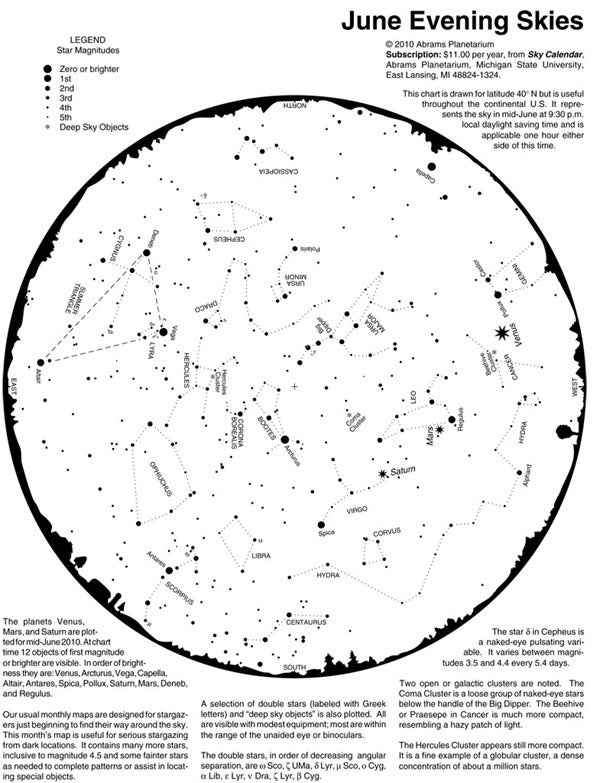
My first pick is not a traditional star atlas. Still, for four decades, the Abrams Planetarium Sky Calendar has promoted basic skywatching. As its name implies, the sheet for each month takes the form of a calendar. Diagrams track the Moon’s motion past the planets and bright stars along with notable groupings of sky objects. The Sky Calendar is a great quick reference for beginners and advanced amateur astronomers alike.
The reverse side shows the month’s mid-evening sky for latitude 40° north, which makes it useful anywhere in the continental United States. And while most of the star atlases in this story contain thousands of stars, the Sky Calendar shows only the brightest 400 or so, depending on the month. That number works well for beginners or for those who observe under moderate light pollution.
Abrams Planetarium publishes the Sky Calendar in loose-leaf form and mails it quarterly (3 months per mailing).
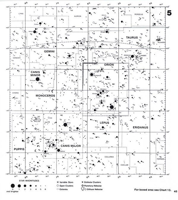
The Mag 6 Star Atlas published by Edmund Scientific Company of Barrington, New Jersey, first appeared in 1982. This 66-page work contains 12 charts, each with an index of objects.
Overall, the atlas contains roughly 7,000 stars to magnitude 6.2, the unaided human eye’s approximate limit from a dark site. The atlas also plots nearly 1,000 double stars, variable stars, and deep-sky objects. Crowded regions in Orion, Virgo, and Sagittarius have detailed close-up charts that make it easier to tell one object from another.
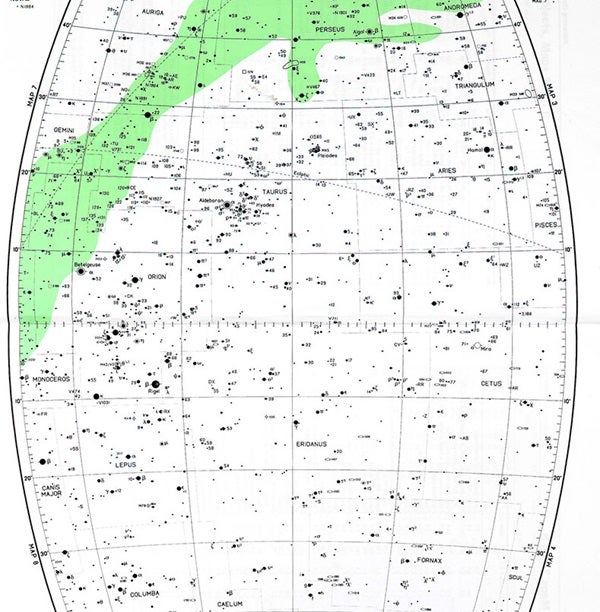
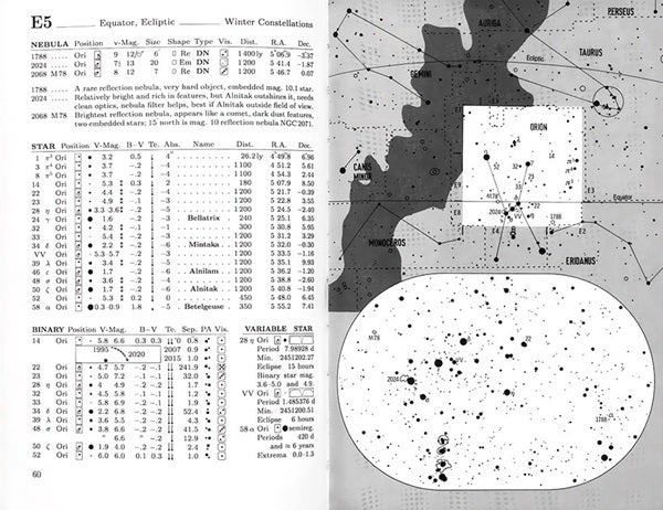
The oldest atlas on my list is Norton’s Star Atlas and Reference Handbook. The first edition dates to 1910, and in 2003, Benjamin Cummings Publishing released the 20th edition. Norton’s contains eight charts. Two circular charts show the sky out to 40° away from each of the celestial poles. Six rectangular charts divide the sky into segments 4 hours of right ascension wide. Each shows the sky between declinations 60° to –60°. All Norton’s maps are two-page versions.
Norton’s displays approximately 8,800 stars to magnitude 6.5. It also shows hundreds of double and variable stars, and more than 600 deep-sky objects. Each chart has two pages of lists and notes about that map’s most interesting objects. After many editions printed on normal paper, Norton’s now comes on glossy stock, which doesn’t absorb moisture like earlier incarnations. That means the pages don’t get as wet when you observe where the humidity is high.
The bulk of Norton’s roughly 200 pages discusses types of celestial objects, time, celestial positions and coordinates, astronomical equipment, and how to observe. The solar system chapter includes maps of the Moon and Mars.
Another favorite atlas in the beginner category is the Bright Star Atlas by Wil Tirion. Aimed at users of the smallest backyard telescopes, the Bright Star Atlas shows stars to magnitude 6.5. It also includes about 600 double stars, variable stars, and deep-sky objects.
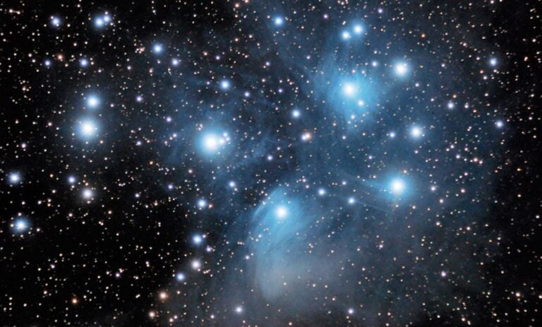
The Bright Star Atlas divides the sky into four polar and six equatorial zones. The maps include constellation boundaries but no constellation figures. Magnified inset charts show the Pleiades (M45) and the region around Orion’s Sword. A keyed series of six finder charts shows readers how the atlas maps relate to the current night sky.
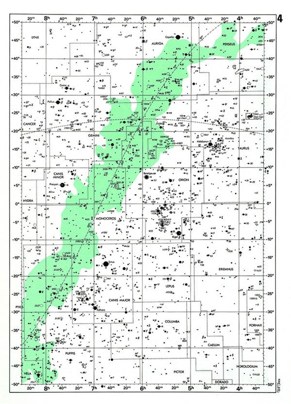
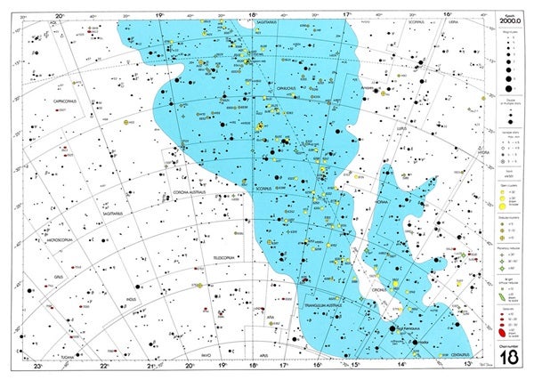
Wil Tirion also created the more detailed The Cambridge Star Atlas 2000.0, which adds about 900 deep-sky objects to maps that plot stars to magnitude 6.5. The 20 charts that make up The Cambridge Star Atlas 2000.0 show the sky in multiple colors: Stars are black, the Milky Way is blue, star clusters are yellow, nebulae are green, and galaxies are red. The colors make this an attractive atlas when used during the day (for planning sessions or to review a previous night’s observations), and they don’t detract from its usefulness at night. The facing page of each chart lists the deep-sky objects shown on the map.
The Cambridge Star Atlas 2000.0 also includes a map of the Moon, 12 sets of Northern and Southern Hemisphere monthly all-sky charts, and a brief discussion of sky motions. Two separate key maps show how the star atlas pages relate to one another
The last beginner atlas I’ll mention is by Erich Karkoschka of Germany. The Observer’s Sky Atlas is by far the smallest atlas in print, measuring only 5 inches wide by 7 inches high (12.7 by 17.8 centimeters). Its small size, however, belies the amount of information inside. In its 130 pages are sections about deep-sky objects, celestial coordinates, magnitude, and size and scale, as well as the atlas itself, which breaks the sky into 48 charts. The maps show stars to 6th magnitude.
Because the book’s small size could hinder reading the charts at night, each map features one or more enlarged insets showing sections that hold something of interest to observers with binoculars and 4-inch or smaller telescopes. These insets show stars as faint as 9th magnitude. Accompanying each of the charts is an itemized list of plotted objects, including the 109 Messier objects and 470 other deep-sky targets.

