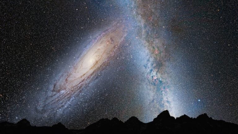
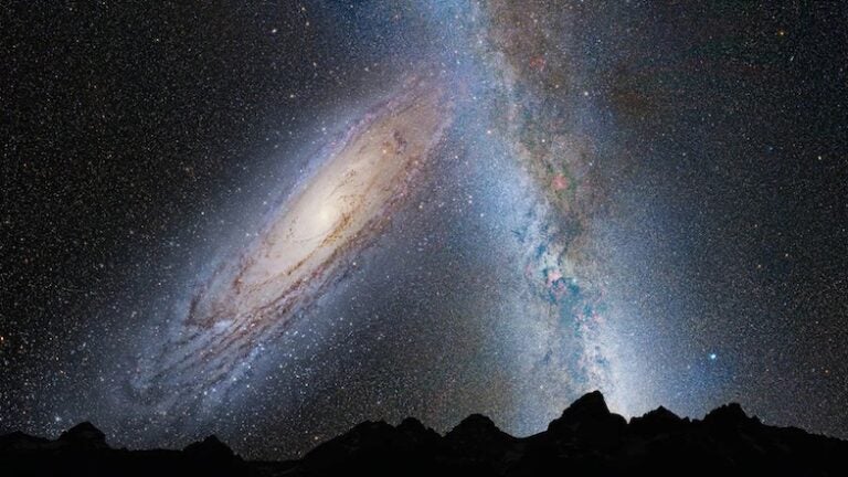
From dark-sky sites on Earth, the Milky Way appears as a glowing band stretching across the sky. To astronomers, it is the disk of our galaxy, a system stretching across 100,000 light-years, seen edge-on from our vantage point orbiting the Sun. The disk contains the majority of the stars in the galaxy, including the Sun, and the densest concentrations of dust and gas.
The unaided human eye struggles to distinguish individual objects in this crowded region of the sky, but the 2.5-meter mirror of the INT enabled the scientists to resolve and chart 219 million separate stars. The INT program charted all the stars brighter than 20th magnitude — or 1 million times fainter than can be seen with the human eye.
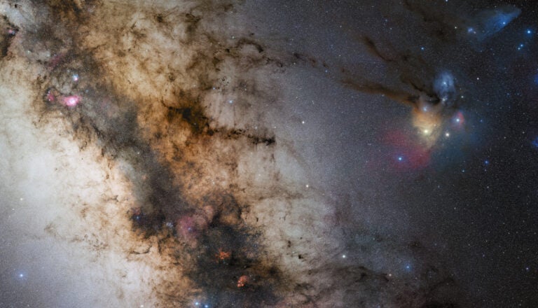
Using the catalog, the scientists have put together an extraordinarily detailed map of the disk of the galaxy that shows how the density of stars varies, giving them a new and vivid insight into the structure of this vast system of stars, gas, and dust.
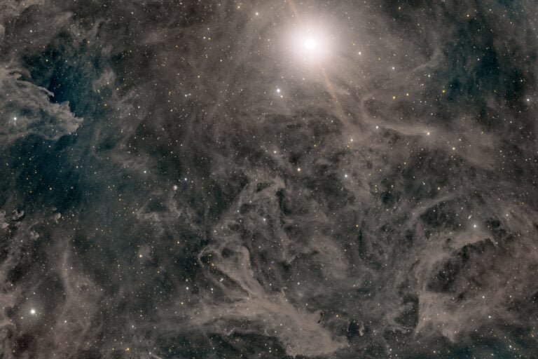
The image included here, a cutout from a stellar density map mined directly from the released catalog, illustrates the new view obtained. The Turner-like brush strokes of dust shadows would grace the wall of any art gallery. Maps like these also stand as useful tests of new-generation models for the Milky Way.
The production of the catalog, IPHAS DR2 — the second release from the survey program the INT Photometric H-alpha Survey of the Northern Galactic Plane (IPHAS) — is an example of modern astronomy’s exploitation of “big data” — it contains information on the 219 million detected objects, each of which is summarized in 99 attributes.
With this catalog release, the team is offering the world community free access to measurements taken through two broadband filters capturing light at the red end of the visible spectrum and in a narrowband filter capturing the brightest hydrogen emission line, H-alpha. The inclusion of H-alpha also enables exquisite imaging of the nebulae (glowing clouds of gas) found in greatest number within the disk of the Milky Way. The stellar density map illustrated here is derived from the longest (reddest) wavelength band in which the darkening effect of the dust is moderated in a way that brings out more of its structural detail, compared to maps built at shorter (bluer) wavelengths.


