Astronomy magazine tends to focus on space observatories that peer beyond Earth, into the depths of space. But the vast majority of observational satellites around our blue world stare right back at us.
From weather to climate to ocean currents to vegetation, all kinds of Earth-sensing satellites surround our planet, giving a bird’s-eye view of our little blue marble. The United States Geological Survey lists 693 Earth-sensing satellites in their database (including retired missions). They work solo or in teams, across many different orbits, observing in visible, radio, and infrared wavelengths, and using radar and lasers. We can’t cover them all, but here’s a sampling that help us understand this wonderful world we call home.
TIROS-1
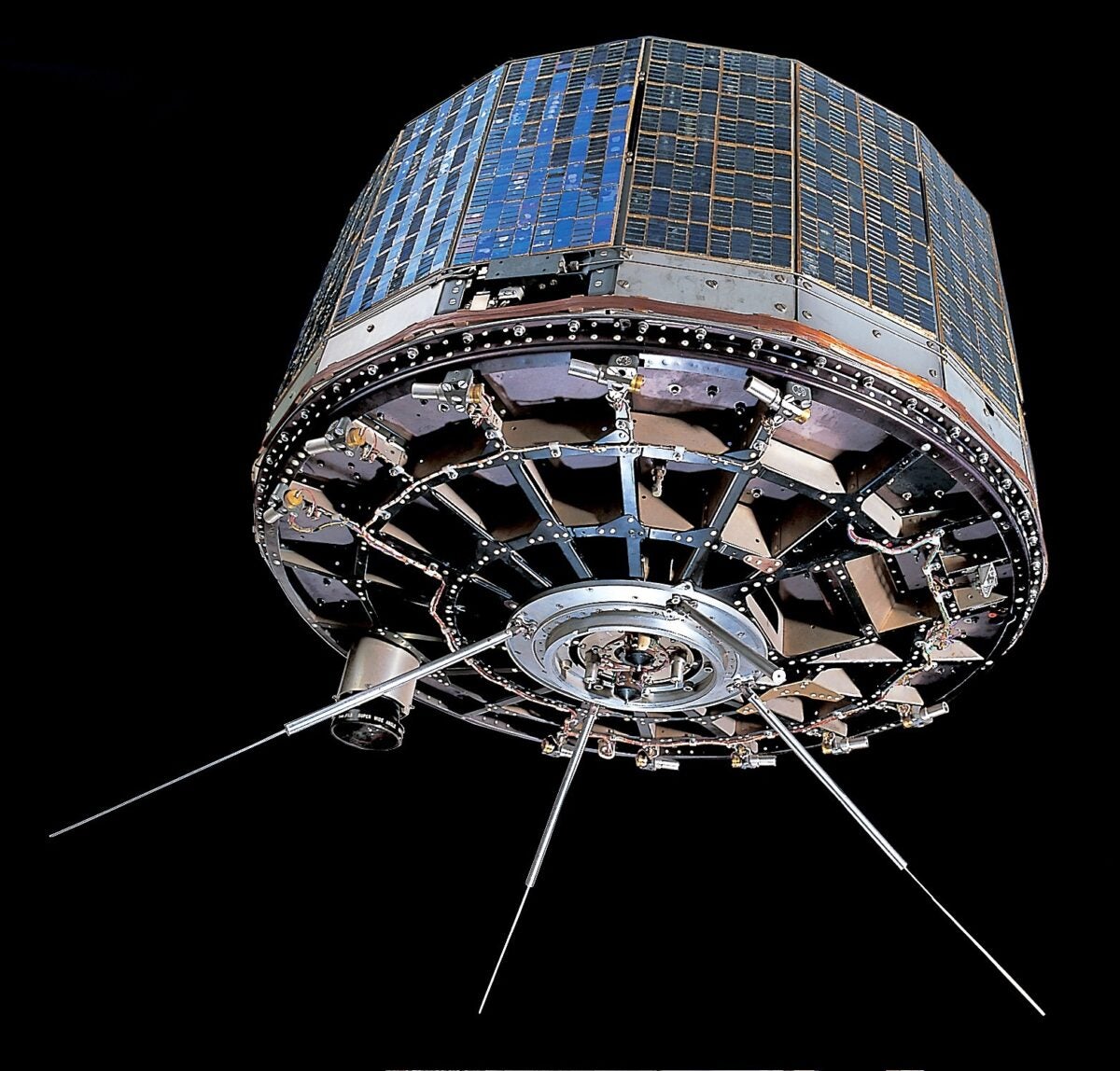
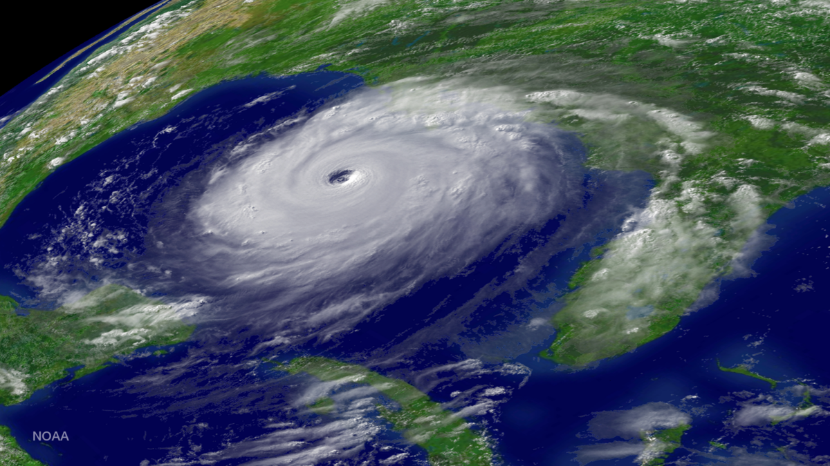
The first weather satellite, TIROS-1 (Television Infrared Observation Satellite) set the stage for generations of science to come. With one launch, the field of meteorology — and many others — changed forever. At the time of launch, scientists weren’t sure if weather observations from space would be useful — TIROS was breaking new ground. Even though its images were black and white, grainy, and quaint by modern standards, TIROS-1 provided satellite television views of cloud formations from above for the first time, allowing weather forecasting, hurricane preparedness, crop management, defense planning, and more. It launched in April 1960 and operated for just 78 days. But it succeeded wildly and has had a rich legacy of successful successors.
By 1962, the TIROS program was collecting data continuously, and a long line of satellites, jointly run by NASA and the National Oceanic and Atmospheric Administration (NOAA), continued the mission. The last satellite in the series is NOAA-19, launched in 2009; along with siblings NOAA-15 and -18, it is still in operation today. It is being succeeded by the Joint Polar Satellite System, whose first satellite launched in 2011. The new fleet is taking up TIROS’ mantle of providing high-quality data for weather and climate science.
Earth Observing System
Aqua, Aura, and Terra are the main spacecraft making up NASA’s Earth Observing System, observing the water cycle, air, and land, respectively. Aqua and Aura were also part of the Afternoon Constellation, or A-Train, a group of NASA satellites that flew only a few minutes apart on their polar orbit, crossing the equator in quick succession at 1:30 p.m. local time each day. This allowed the fleet to observe Earth with an enormous array of instruments from several different satellites (the A-Train comprised six satellites in its prime, currently down to three), providing a wealth of constantly updated data to NASA and its partners.
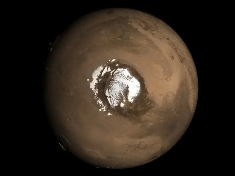
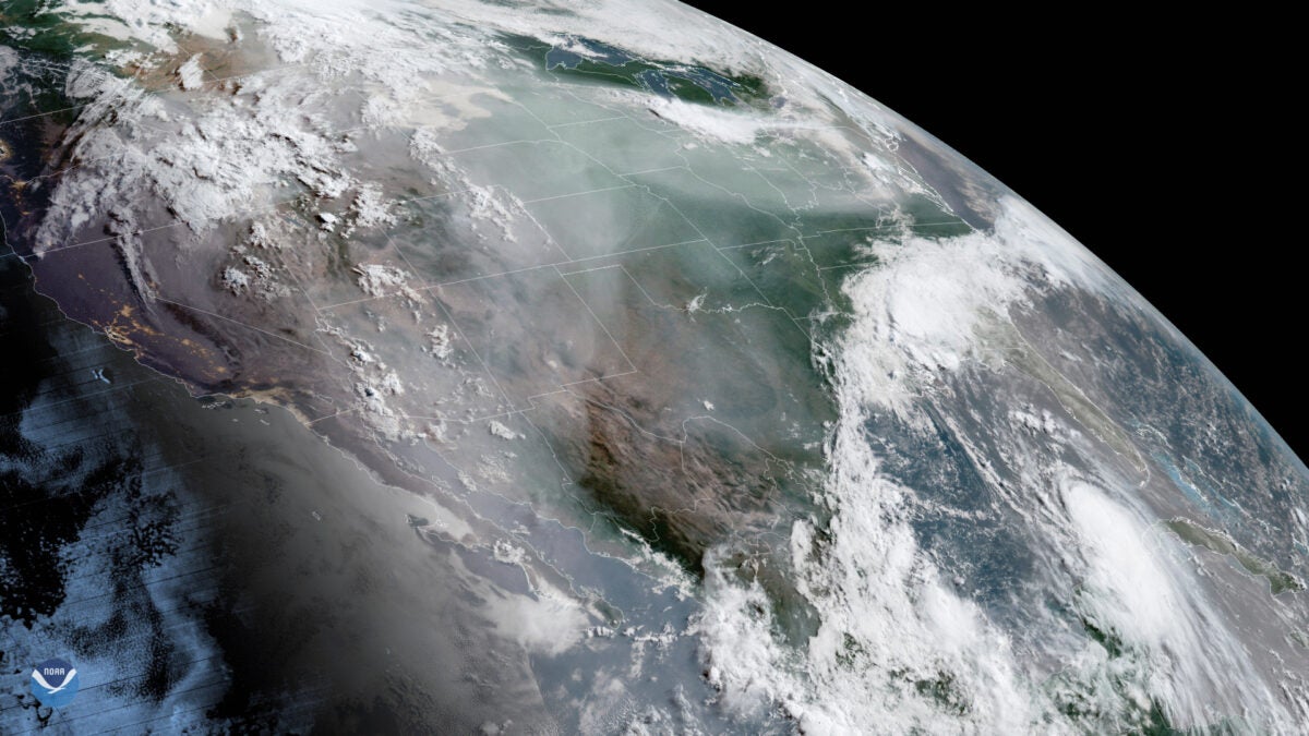
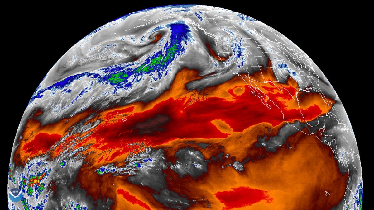
DSCOVR
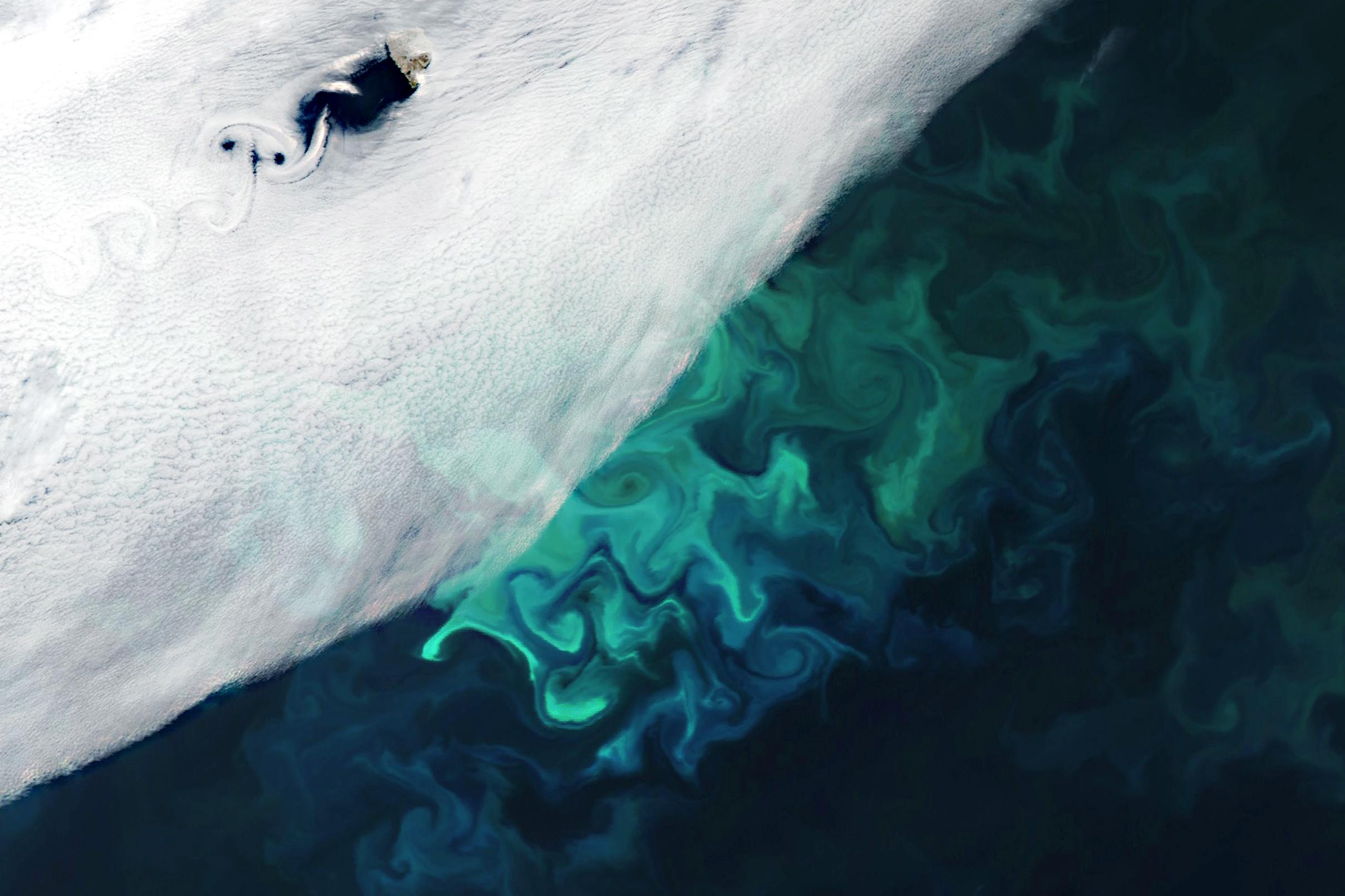
DSCOVR’s (Deep Space Climate Observatory) gorgeous full-disk images of our planet make it a shoo-in for this collection. It flies much father into space than anything else featured here, all the way out to the L1 Lagrange point, directly between Earth and the Sun. There, it tastes the solar wind and warns Earth in the event of a geomagnetic storm. And its Earth Polychromatic Imaging Camera, or EPIC, takes pictures of our planet in 10 infrared, visible, and ultraviolet bands every two hours. Because of its position between the Sun and Earth, it always views our planet’s dayside, making it an excellent observer of clouds, vegetation, ozone levels, and aerosols.
While it doesn’t provide the granularity of the weather satellites in low Earth orbit, its big-picture view allows scientists to study our planet as a whole and observe trends in real time on a global scale. It’s imaged the Moon photobombing Earth and recorded the shadow of the Moon racing across our planet’s face during a solar eclipse. And it provides a constantly updated “blue marble” view of our planet, perhaps reminding us that while there are many planets out there, only one has ever earned the name “Mother.”
Ibuki
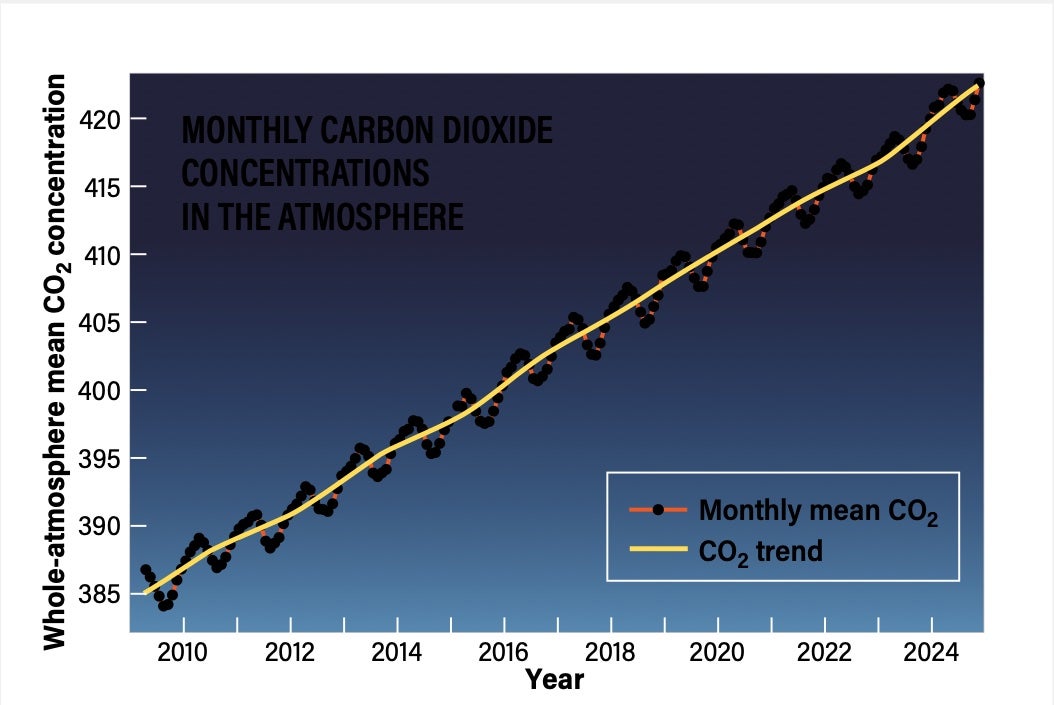
Ibuki (“breath” in Japanese, also known as the Greenhouse Gases Observing Satellite, or GOSAT) was the first satellite designed specifically to study greenhouse emissions from space. The second version, Ibuki 2, launched in 2018 and is still in operation. Built and operated by the Japan Aerospace Exploration Agency, in cooperation with Japan’s Ministry of the Environment and National Institute for Environmental Studies, the craft will be succeeded this year by Ibuki 3.
Ibuki’s mission was in response to the 1997 Kyoto Protocol that directed nations to reduce their carbon emissions. But monitoring those emissions from the ground is patchwork and incomplete. Ibuki and its successors are able to map carbon dioxide and methane over nearly the entire surface of the planet every three days, allowing the world to track how and where greenhouse gases are increasing.
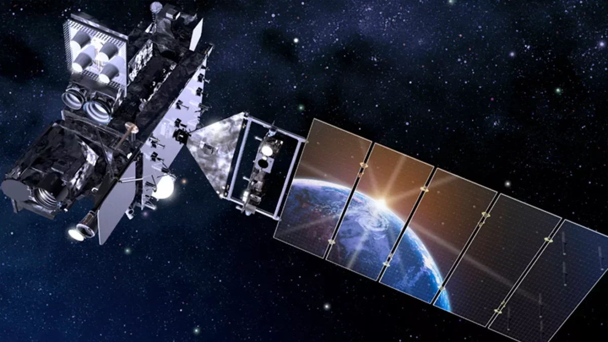
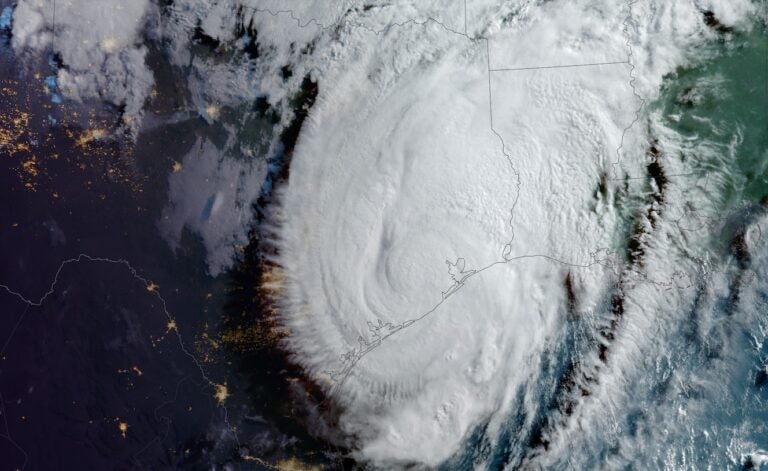
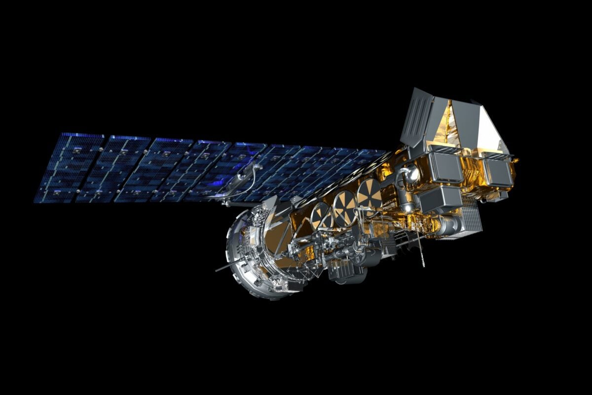
GOES East and West
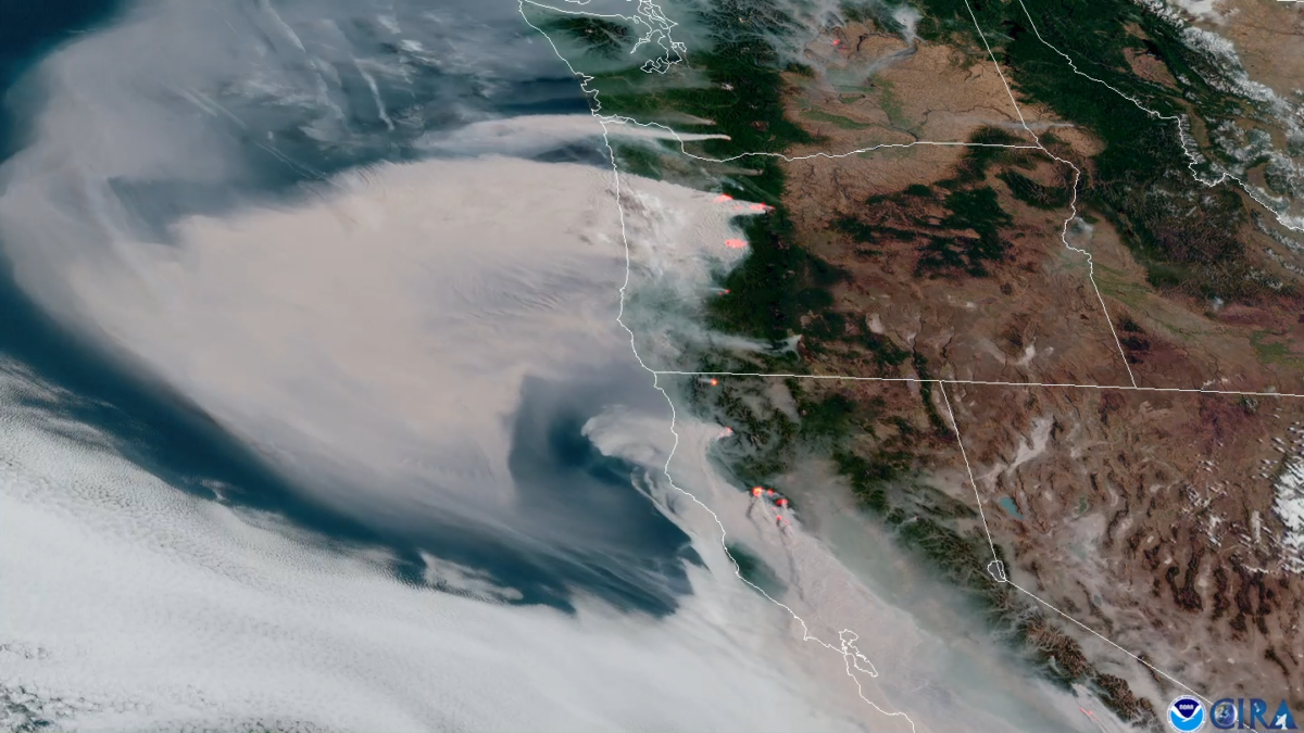
The Geostationary Operational Environmental Satellite (GOES) suite resides in a “parked” orbit 22,236 miles (35,785 kilometers) above Earth’s equator and rotates with the planet, allowing its satellites lock their eyes on their chosen patch. GOES-R is the latest, most advanced version of the fleet, and comprises two satellites, dubbed East and West, each pointed at a spot near North America, where they keep tabs on the land, air, and sea within their domain. Another two satellites hang out in nearby orbit for backup, swapping into orbital place if either flagship breaks down.
Another joint NASA/NOAA program, GOES (in some version or another) has been watching Earth from space since 1965. The first GOES-R satellite launched in 2016, and the suite is NASA and NOAA’s current best geostationary eyes for weather and climate covering the Western Hemisphere. Their instrument array covers multiband imaging and lightning mapping, and includes a range of solar radiation and space weather sensors, and more. This allows them to monitor everything from weather to wildfires, predict severe weather like tornadoes, and even aid in search and rescue missions by relaying transponder signals. Whether you need to launch a rescue or plan a picnic, GOES East and West have you covered — at least in the U.S.
Planet
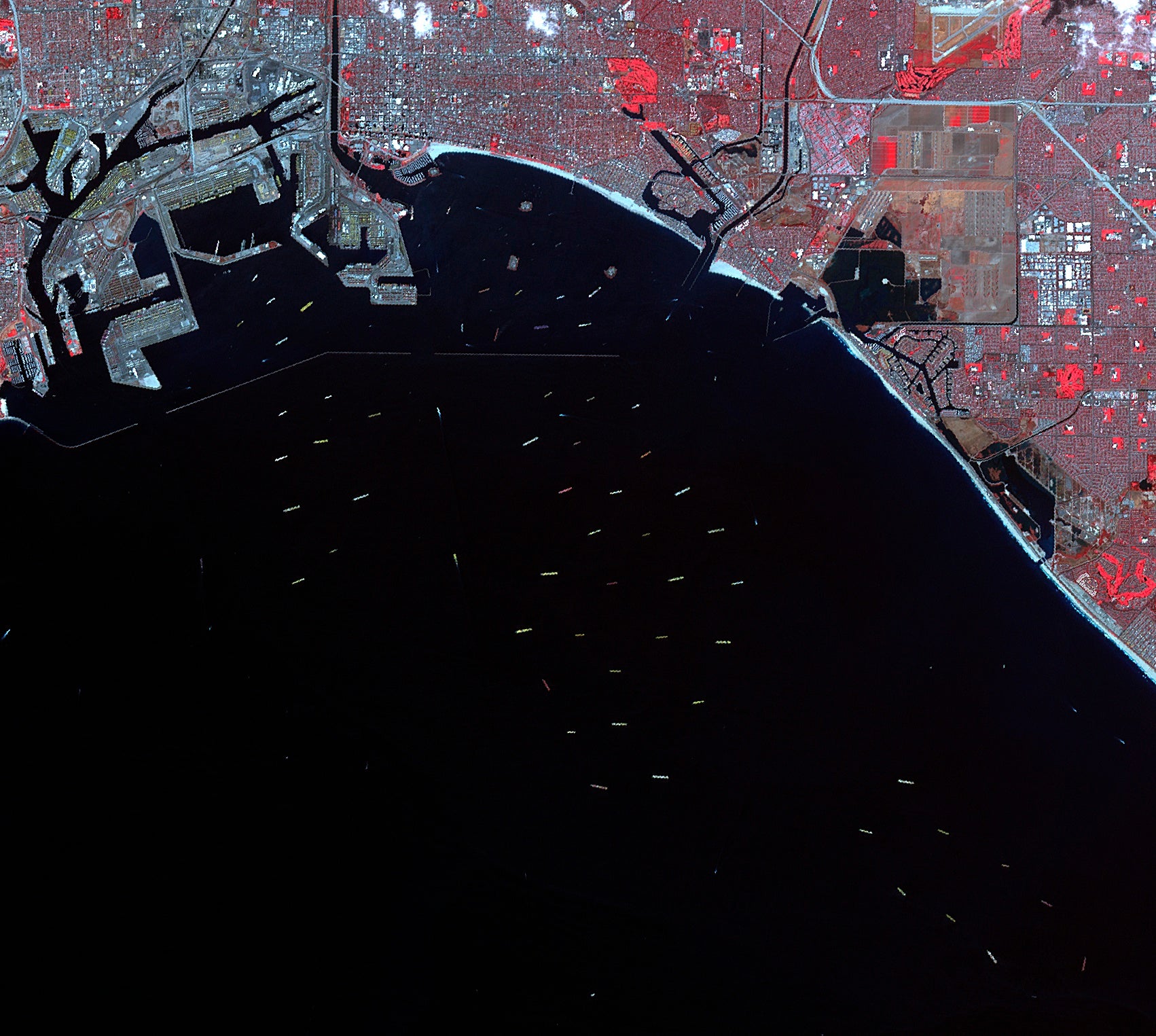
Planet is a private company that operates a fleet of some 200 satellites, providing the resulting data to a wide range of industries. For insurance, investment banking, transportation, forestry, civil projects, defense, agriculture, and more, there are many reasons why having an up-to-the-hour view of our changing planet might prove useful — and profitable.
In the absence of a space agency, Planet the company does the work of providing not just images, but also the data products that go with them. With this information, farmers can predict crop yields, governments and NGOs can track land use, and shipping companies can assess port usage. The possibilities are endless.