In a study published today in Science, researchers say they have solved a climate enigma — the inexplicable surge in global temperature in 2023, rising faster than climate models predicted.
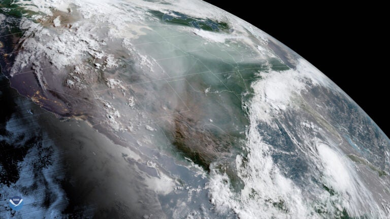
By analyzing satellite data and weather records, a team of climatologists in Germany have found that the culprit is likely fewer clouds at low altitudes — lower than about 10,000 feet (3,000 meters). Clouds play a crucial role in keeping Earth cool by reflecting sunlight back into space, and clearer skies means that more sunlight reaches Earth.
The dearth of low-level clouds had gone previously unnoticed because studies that relied on satellite imagery had not been able to distinguish low-level clouds from higher clouds.
Worryingly, this trend of clearer low-level skies may be a result of global warming itself, meaning that the Earth may be entering a feedback cycle that could accelerate warming further.
Balancing Earth’s energy budget
The astonishing warming trend in 2023 was first noted over the North Atlantic, but “the warming turned out to be more widespread,” says Helge Goessling, lead author of the paper and a climate physicist at the Alfred Wegener Institute in Bremerhaven, Germany. His team also noticed high temperature anomalies in the North Pacific and near the equator.
To understand Earth’s changing climate, scientists must understand how much energy is absorbed by Earth, how much is trapped in the atmosphere by greenhouse gases, and how much sunlight is reflected back into space before it reaches the ground. Clouds are key as they reflect roughly 50 percent of the sunlight that reaches them. By contrast, oceans reflect just 5 percent.
But climatologists couldn’t explain all of last year’s anomalous temperature rise. To be precise, 0.2 degree Celsius (0.36 degree Fahrenheit) of warming could not be accounted for even after including factors like the Sun’s peak in activity, polar ice losses, and decreases in fine particles (aerosols) in the atmosphere.
In other words, Earth’s overall reflectivity — what scientists call its albedo — had decreased, and scientists didn’t know why.
“What happened could not be easily explained with El Niño or other contributors,” says Goessling. “That’s where these low cloud decreases came into play.”
Goessling’s team began focusing on low-level clouds and how they were affecting the Earth’s energy budget. In particular, they used NASA satellite imagery to track cloud coverage, and weather records compiled by the European Centre for Medium-Range Weather Forecasts (ECMWF) to track cloud densities at different altitudes.
NASA’s Clouds and the Earth’s Radiant Energy System (CERES) project compiles satellite data over extended time periods to create a balance sheet of Earth’s radiation budget, tracking how much incoming sunlight our planet absorbs versus how much infrared energy it emits back into space. Meanwhile, the ERA5 project at ECMWF compiles and analyzes various data from satellites, weather balloons, and atmospheric instruments on an hourly basis from sea level to an altitude of 50 miles (80 kilometers), and has done so for the period since 1940.
Since CERES only indicates total cloud coverage, ERA5 was needed to determine cloud densities at different atmospheric levels. Using the ERA5 data, Goessling’s team was able to refine their interpretations of satellite imagery, which pointed toward a deficit of lower-level clouds while upper-level clouds held steady.
Caught in a feedback cycle
So what’s causing the lack of low-level clouds? It may be the warming atmosphere itself.
“If you have greenhouse-gas induced warming, many climate models show us that this also has an effect on clouds, and particularly on low-level clouds,” says Goessling.
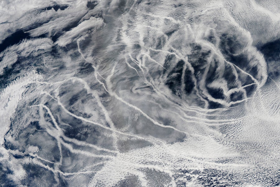
Goessling says the decrease in low-level clouds could also partly be due to a drop in coal burning and stricter controls on marine shipping exhaust. The fine particles in such pollution act as seeds for forming clouds. The irony is that as we clean up the air, we may also unleash more climate change. Fewer clouds reflecting less sunlight means more warming.
Another feedback effect, Goessling says, is that as Earth warms, “you also tend to see upper-level clouds moving up into colder parts of the uppermost troposphere.” Colder clouds means they radiate less energy out into space, leaving more energy — and heat — in the atmosphere.
“It is also possible that ocean feedbacks have led to strong warming of the sea surface, which may decrease low-level cloud cover,” adds co-author Thomas Rackow. “When upper ocean layers become less deep, they warm more easily.”
Long-term oceanic cycles may also be in play. Atlantic and Pacific oceanic circulations, in particular, are known for varying over decades. These may reduce low-level cloud cover and exacerbate global warming at one time, but produce opposite effects at another. According to Goessling, it is tricky to tell to what extent such ups and downs might confound current trends.
Overall, the work shows that small variations in low-level clouds are more important than most imagined — and Goessling’s team reckons that this may mean the surge of 2023 will not be an isolated event. “If a large part of the decline in albedo is indeed due to feedbacks between global warming and low clouds, as some climate models indicate, we should expect rather intense warming in the future,” he said in a statement.

