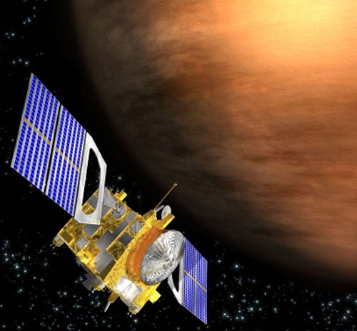
Venus Express has charted the first map of Venus’ southern hemisphere at infrared wavelengths. The new map hints that our neighboring world may once have been more Earth-like, with both a plate tectonics system and an ocean of water.
The map comprises over a thousand individual images, recorded between May 2006 and December 2007. Because Venus is covered in clouds, normal cameras cannot see the surface, but Venus Express used a particular infrared wavelength that can see through them.
Although radar systems have been used in the past to provide high-resolution maps of Venus’ surface, Venus Express is the first orbiting spacecraft to produce a map that hints at the chemical composition of the rocks. The new data is consistent with suspicions that the highland plateaus of Venus are ancient continents once surrounded by ocean and produced by past volcanic activity.
“This is not proof, but it is consistent. All we can really say at the moment is that the plateau rocks look different from elsewhere,” said Nils Müller at the Joint Planetary Interior Physics Research Group of the University Münster and DLR Berlin, who headed the mapping efforts.
The rocks look different because of the amount of infrared light they radiate into space, similar to the way a brick wall heats up during the day and gives off its heat at night. Different surfaces radiate different amounts of heat at infrared wavelengths due to a material characteristic known as emissivity, which varies in different materials. The Visible and Infrared Thermal Imaging Spectrometer (VIRTIS) instrument captured this infrared radiation during Venus’s nighttime orbits around the planet’s southern hemisphere.
The eight Russian landers of the 1970s and 1980s touched down away from the highlands and found only basalt-like rock beneath their landing pads. This new map shows that the rocks on the Phoebe and Alpha Region plateaus are lighter in color and look old compared to the majority of the planet. On Earth, such light-colored rocks are usually granite and form continents. Granite is formed when ancient rocks, made of basalt, are driven down into the planet by shifting continents, a process known as plate tectonics. The water combines with the basalt to form granite and the mixture is reborn through volcanic eruptions.
“If there is granite on Venus, there must have been an ocean and plate tectonics in the past,” said Müller.
Müller points out that the only way to know for sure whether the highland plateaus are continents is to send a lander there. Over time, Venus’ water has been lost to space, but there might still be volcanic activity. The infrared observations are very sensitive to temperature. But in all images they saw only variations of between 37°-68° Fahrenheit (3°-20°Celsius), instead of the kind of temperature difference they would expect from active lava flows.
Although Venus Express did not see any evidence of ongoing volcanic activity this time around, Müller does not rule it out. “Venus is a big planet being heated by radioactive elements in its interior. It should have as much volcanic activity as Earth,” he said. Indeed, some areas do appear to be composed of darker rock, which hints at relatively recent volcanic flows.
The new map gives astronomers another tool in their quest to understand why Venus is so similar in size to Earth and yet has evolved so differently.

