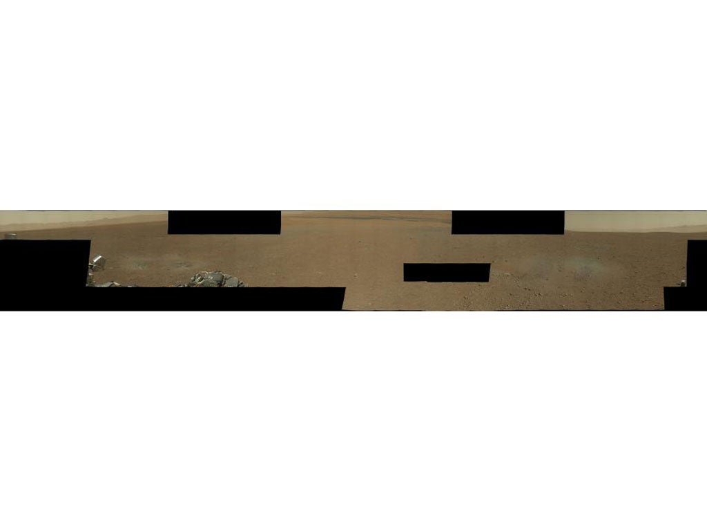
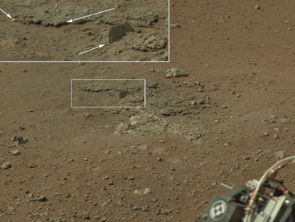
The 79 images that went into the large mosaics were taken August 9 EDT by Curiosity’s 34-millimeter Mastcam. The black areas indicate high-resolution images not yet returned by the rover.
Curiosity sent lower-resolution versions of these images earlier in the week. The latest versions, sent while Curiosity was undergoing a software “brain transplant” and pausing in its acquisition of new science data, are 1,200 by 1,200 pixels.
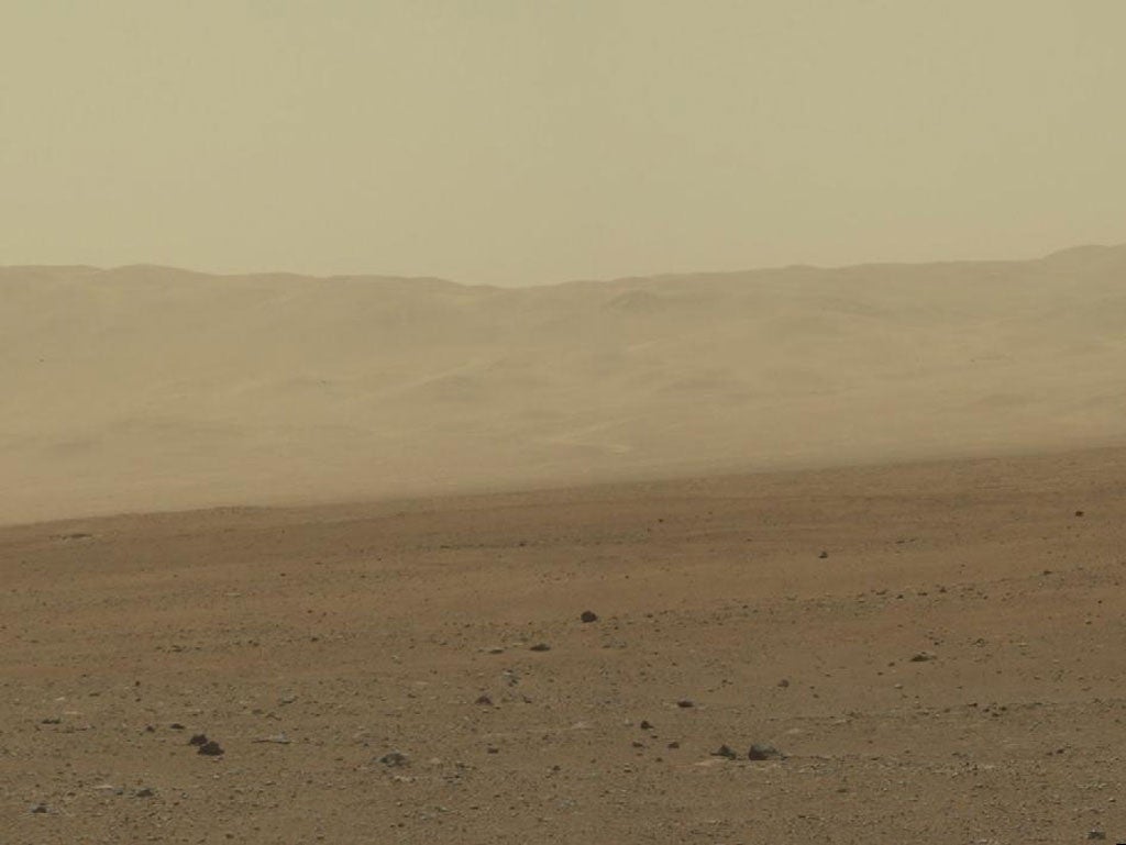
Smaller mosaics of some of the areas most interesting to science team members are also available. One shows a section on the crater wall north of the landing site, where a network of valleys believed to have formed by water erosion enters Gale Crater from the outside. This is the first view scientists have had of a fluvial system – one relating to a river or stream – from the surface of Mars.
A second section of the mosaic looks south of the landing site, toward Mount Sharp, a peak that is about 3.4 miles (5.5 kilometers) high and taller than Mt. Whitney in California. This provides an overview of the eventual geologic targets Curiosity will explore in the next two years. Close by is a rock-strewn, gravelly surface. Farther away is a dark dune field, and beyond that lie the layered buttes and mesas of the sedimentary rock of Mount Sharp.
Curiosity continues to be healthy, with all instruments and engineering subsystems operating as planned. There are no science or instrument activities planned on Sol 5. Last night, the new flight software, which is optimized for surface operations, was tested for the first time and successfully executed all planned Sol 5 rover activities. The test demonstrated that the new software is ready to support the upcoming surface operations mission phase. After an afternoon nap, Curiosity then returned to operating on its previous flight software, as planned. The rover’s primary main computer was permanently transitioned to the new flight software today.

